Case Studies
Real deployments. Proven results. From city-wide platforms to regional planning and real estate
Flagship City Digital Twin
Client: Confidential (Government Digital Authority)
Challenge
A major metropolitan area needed a single platform to manage its urban environment in real time — consolidating data from 40+ city departments, surveillance systems, IoT sensors, construction projects, and planning workflows into one authoritative source of truth
Solution
Built a comprehensive city-scale Digital Twin covering 100% of the metropolitan area using photogrammetric 3D models, Unreal Engine photorealistic rendering delivered via Pixel Streaming, and a centralized data integration platform. Implemented Generative Urban Planning, GeoAI on Large Geospatial Models, 3D Gaussian Splatting for immersive ground-level views, and a mandated high-polygon model approval workflow
Results
- 100% 3D geospatial coverage of the metropolitan area
- Thousands of analytical data layers — utilities, transport, zoning, flood zones, and more
- 200,000+ IoT sensors and surveillance cameras integrated (35,000+ with AI analytics)
- 2,000+ high-polygon 3D models processed through automated approval workflow
- 30% faster construction approvals (from 10 to 7 months)
- 800,000+ construction logistics trips monitored annually
- Record-breaking construction volume commissioned in a single year
- Primary decision-making tool for city leadership and all departments
Miami Digital Twin — Construction & Property Management
Client: SynPlanet
Challenge
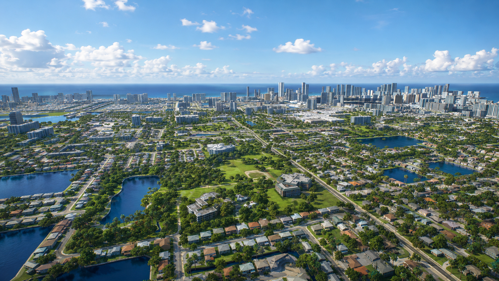
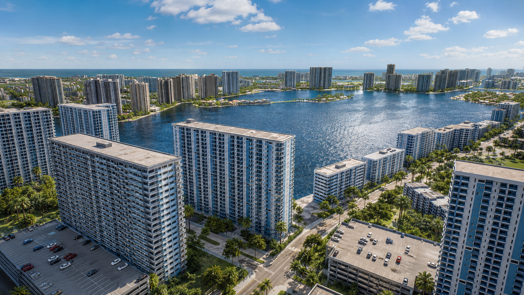
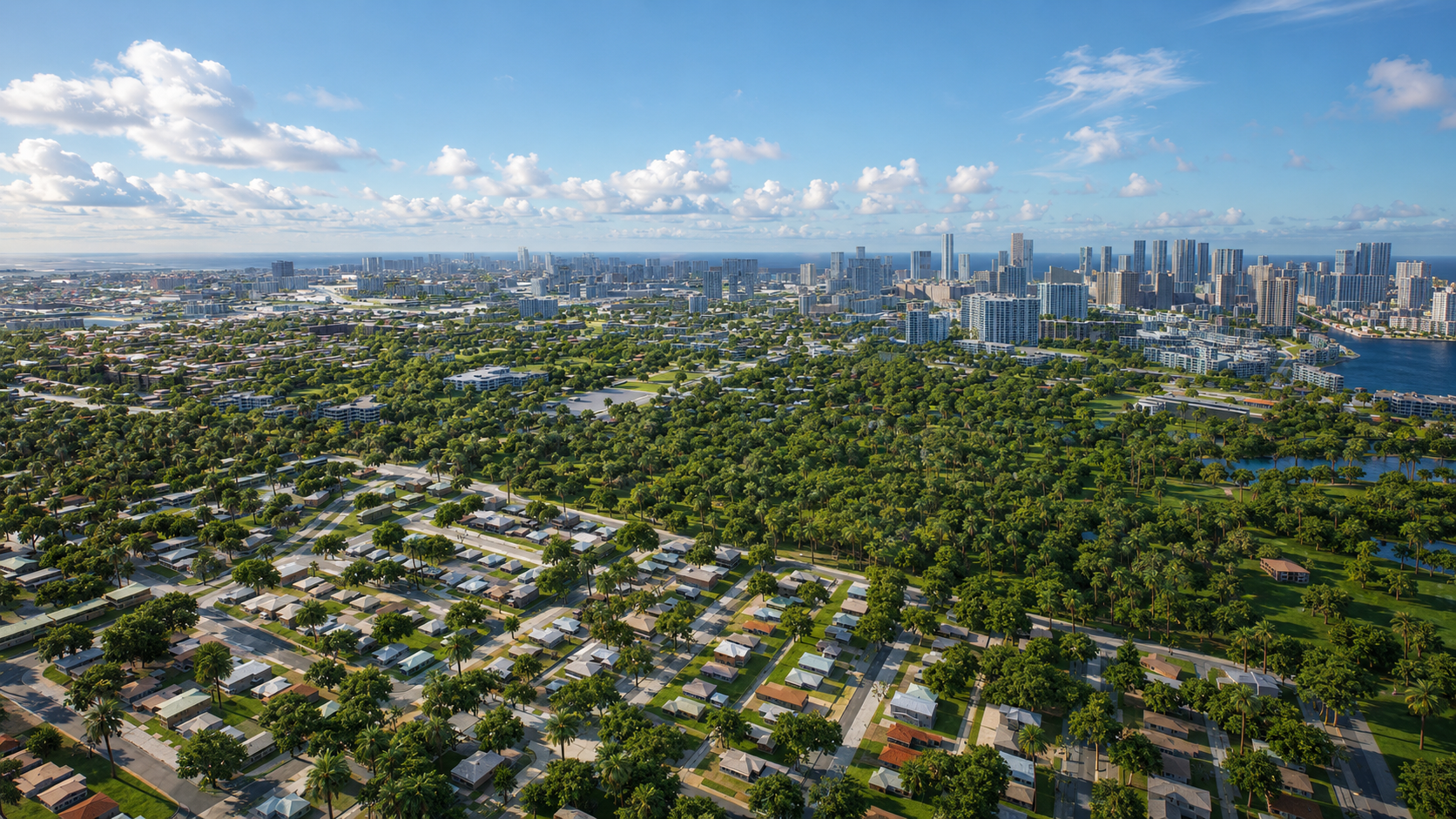
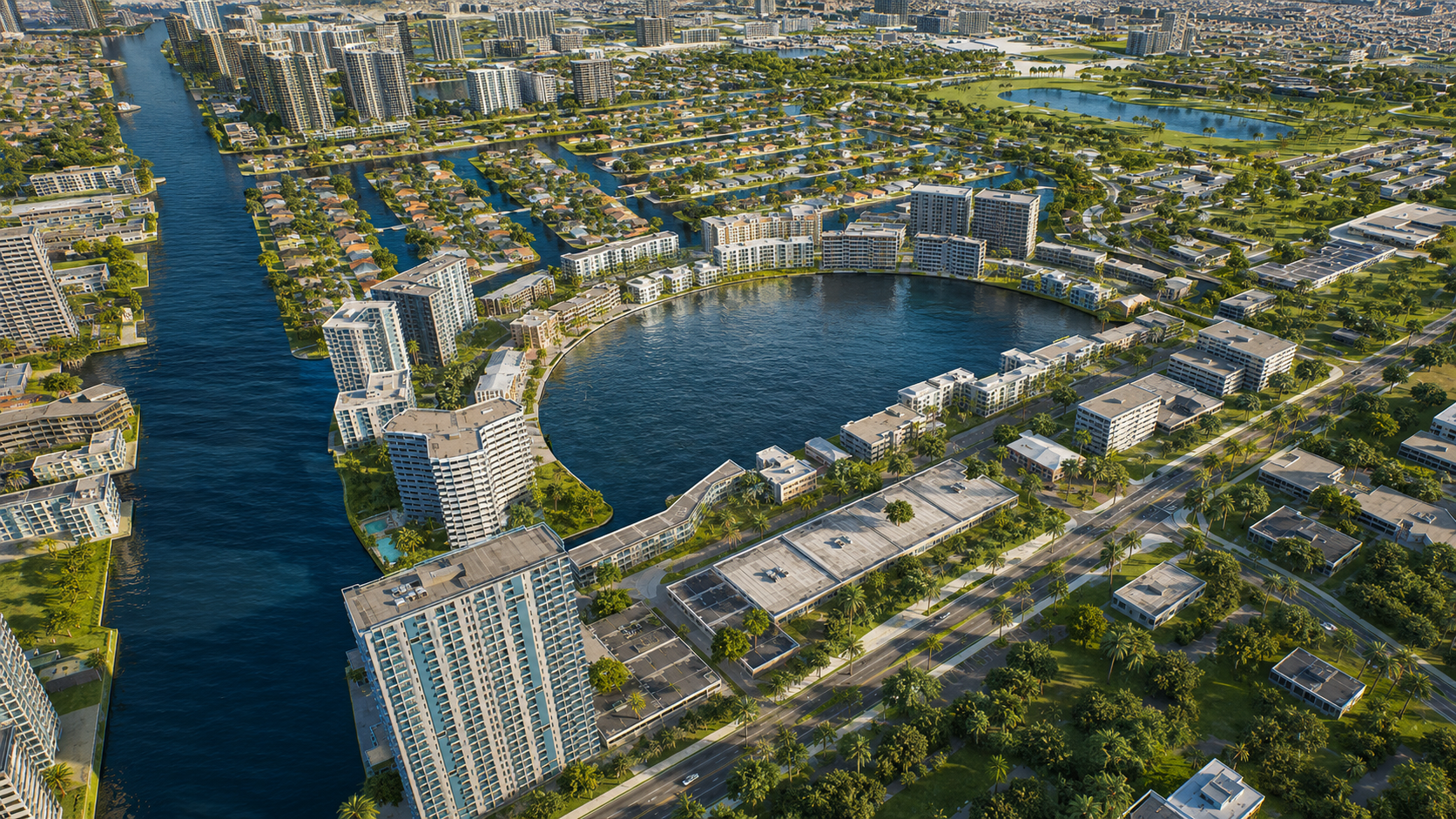
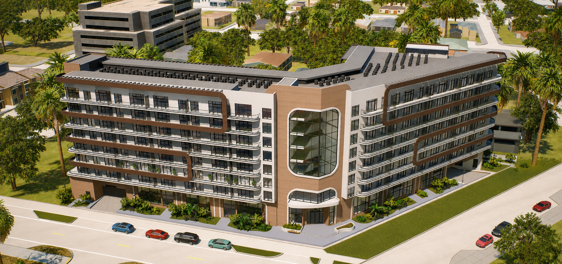
A real estate developer needed a high-fidelity, georeferenced Digital Twin of Miami-Dade to support construction lifecycle management and immersive property sales — enabling buyers to explore developments interactively from any browser, with no specialist hardware required
Solution
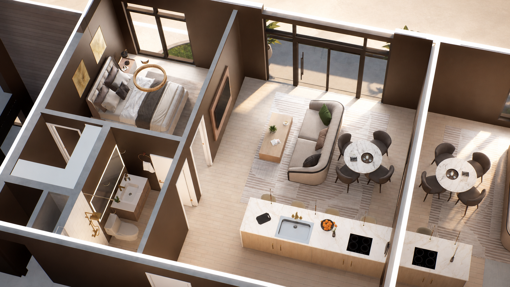
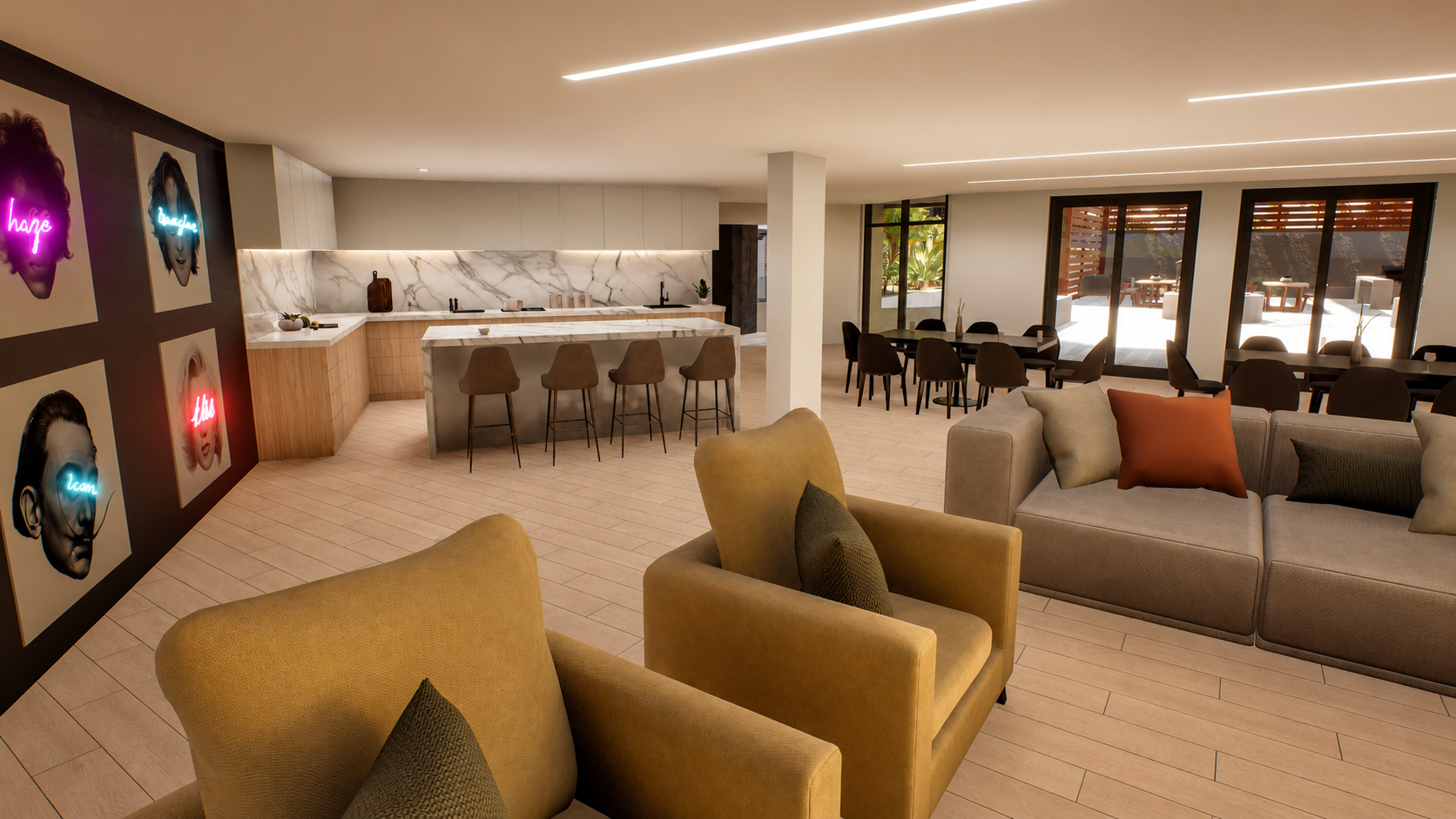
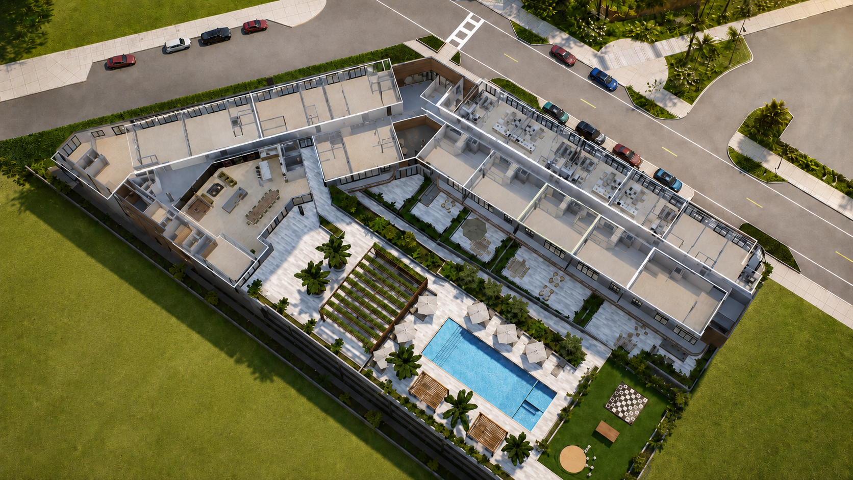
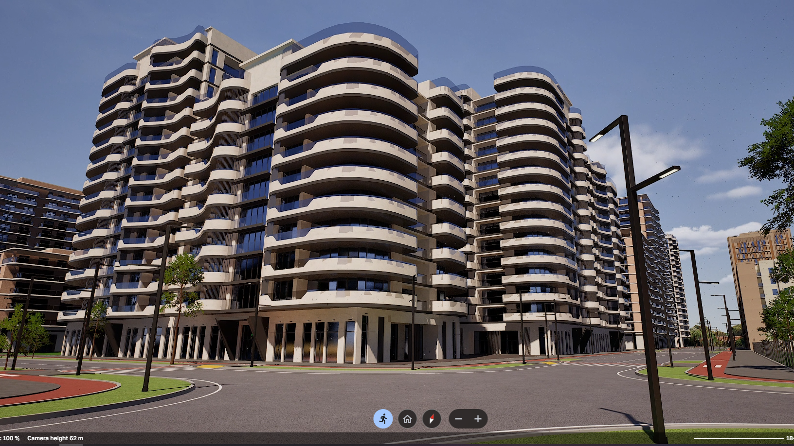
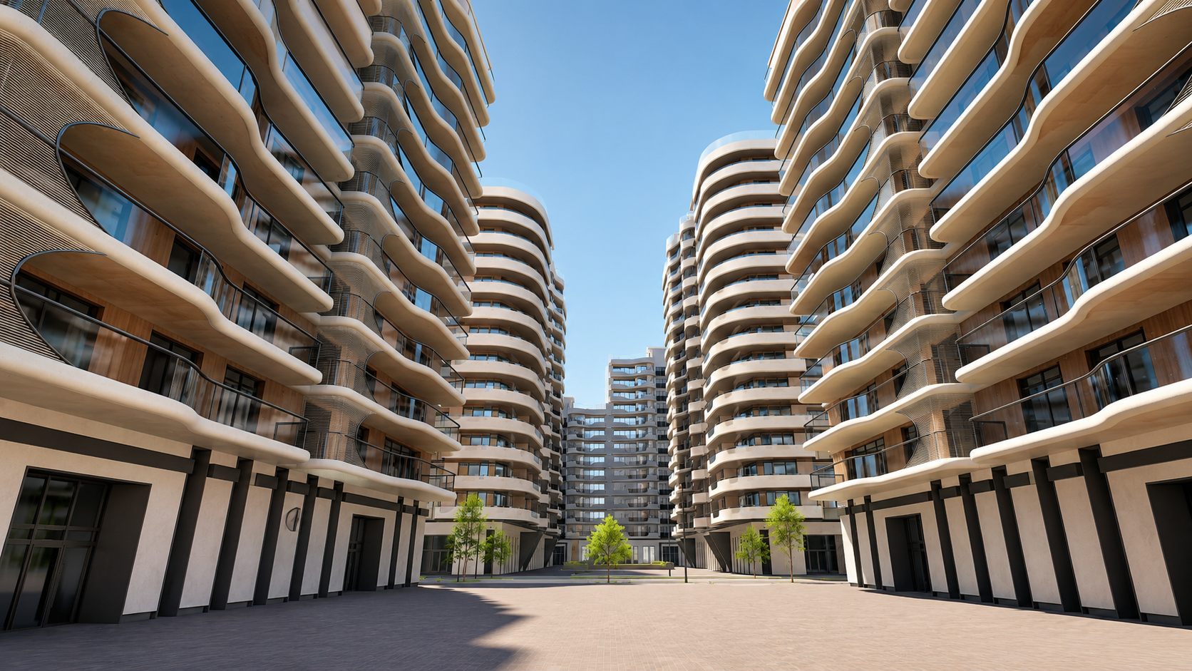
Delivered 100% 3D procedural coverage of the environment — combining satellite imagery, elevation data, and urban datasets. Integrated BIM models of the target development into the Digital Twin. Built a full real estate visualization layer with apartment unit cards, fully navigable interior spaces, and BIM-to-UE5 optimization. Deployed via Pixel Streaming for browser-based access. Added GeoAI powered by LGM for urban analytics and traffic simulation for mobility modeling
Results
- 100% 3D coverage of the Miami-Dade environment
- Full BIM integration into the georeferenced urban twin
- Browser-based interactive sales experience via Pixel Streaming — no app install, no high-end hardware
- GeoAI analytics for development potential and environmental conditions
- Urban traffic simulation for mobility pattern modeling
- Modular architecture — ready for IoT and property management expansion
Digital Twin of BARMM Region
Client: SynPlanet
Challenge
The BARMM region (population 5M+) needed a high-fidelity, georeferenced Digital Twin for advanced spatial analysis, AI-driven decision-making, and generative planning — enabling government agencies and regional planners to visualize, simulate, and develop the region with no specialist hardware required
Solution
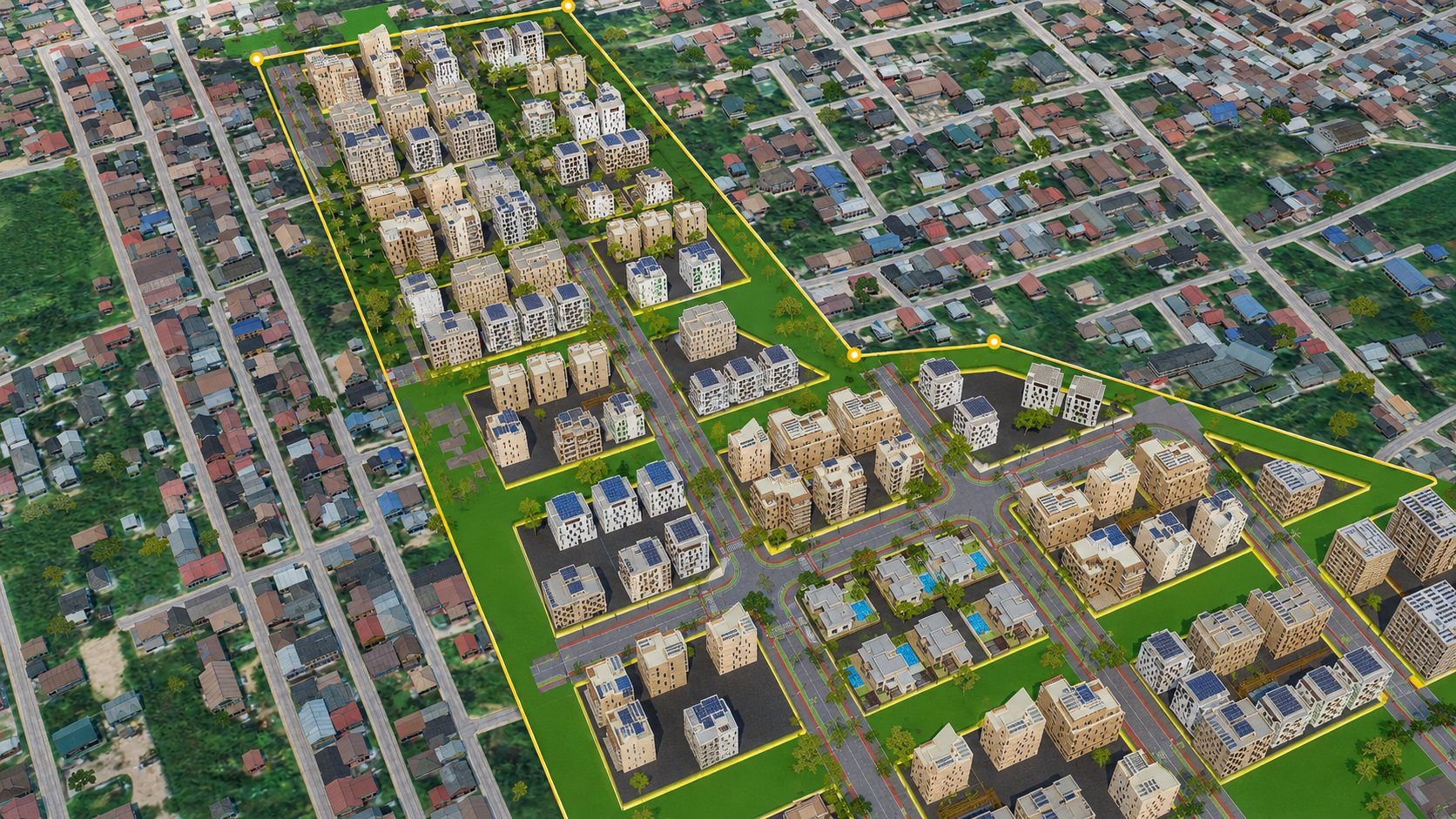
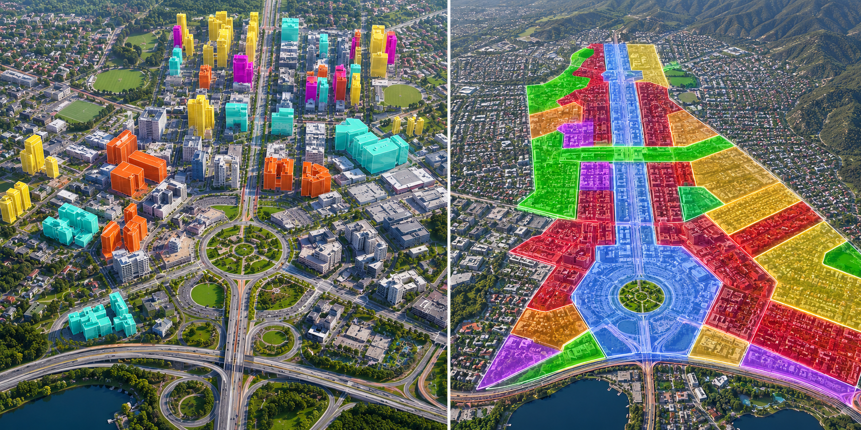
Developed a procedurally generated synthetic environment from satellite imagery, elevation models, and land cover classification — covering 100% of the territory. Deployed browser-based Pixel Streaming access for government stakeholders. Integrated GeoAI powered by LGM for land use classification, infrastructure assessment, environmental monitoring, and predictive modeling. Added generative urban design tools for zoning analysis and scenario-based regional planning
Results
- 100% procedural 3D coverage of the entire BARMM territory
- Browser-based platform — accessible to government agencies and regional planners, no installation required
- GeoAI analytics — land classification, infrastructure assessment, and environmental monitoring
- Generative urban design — zoning analysis and scenario-based planning tools
- Modular architecture — ready for IoT, BIM, and real-time monitoring integration
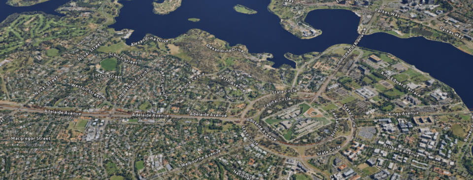
CANBERRA DIGITAL TWIN — INNOVATION DEMO PLATFORM
Client: Internal R&D / Demonstration Platform
Challenge
GUIDE Digital has accumulated extensive expertise through multiple large-scale urban Digital Twin deployments worldwide. However, many of these projects remain under strict NDA and cannot be publicly disclosed. This created a challenge: how to demonstrate the full depth of our technology stack — from photogrammetric 3D modeling and real-time rendering to IoT integration, generative urban design, and immersive training simulations — without exposing confidential client work The solution was to build our own demonstration environment. A platform that would not only showcase our capabilities, but also serve as a proving ground for new features before they are deployed in commercial projects. The platform had to demonstrate how a Digital Twin can serve not just as a visualization tool, but as an operating system for city management, emergency response, and long-term urban planning — while being fully controlled by us, independent of any single client engagement
Solution
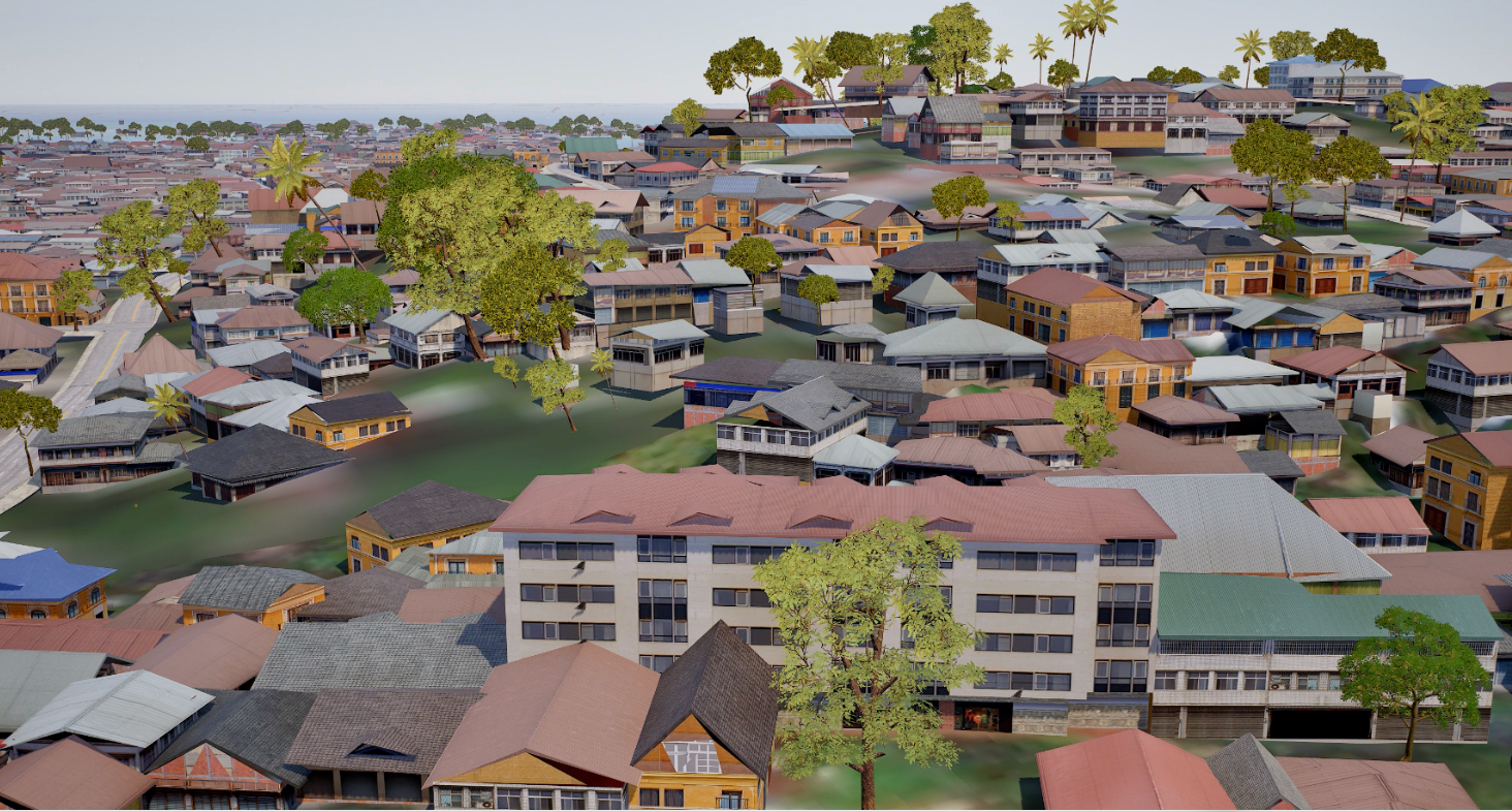
Built a photorealistic Digital Twin of Canberra using aerial photogrammetry, satellite imagery, and elevation data. Deployed via Pixel Streaming for browser-based access from any device Integrated the full GUIDE Digital technology stack: Photogrammetric 3D model of the demonstration area GeoAI (LGM) — natural language queries, land classification, predictive analytics Generative Urban Design — AI-driven scenario generation with regulatory compliance on real zoning data IoT simulation — smart waste removal with real-time telemetry Incident simulation — fire, gas explosion, emergency response VR integration — first-person 360° immersive training Avatar mode — navigable interiors, floor-by-floor exploration Before/After slider — compare design variants in real time Dynamic weather & time-of-day simulation
Results
- 100% photogrammetric 3D coverage of the demonstration area
- Browser-based access via Pixel Streaming — no installation, no high-end hardware
- GeoAI assistant enabling natural language spatial queries
- Generative design scenarios generated in seconds
- Real-time IoT dashboard for waste operations monitoring
- Incident management dashboard with live sensor data
- VR training environment for emergency response scenarios
- Avatar-based interior navigation with floor-by-floor detail
- Modular architecture — ready for additional city systems integration
The platform serves as GUIDE Digital's primary demonstration environment for prospective clients — proving that a single Digital Twin can unify city management, emergency response, urban planning, and immersive training in one production-ready ecosystem
Industries We Serve
From city halls to construction sites — Digital Twin solutions that deliver
Start Your Success Story
Let's discuss how GUIDE Digital's platform can transform your city or project.
Discuss Your Project